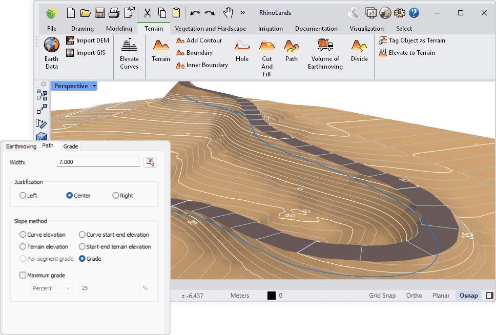
Working with complex terrains and grading operations has never been easier! RhinoLands offers a powerful solution for all your topography and terrain modeling needs. With fully linked 2D and 3D environments, it allows you to design efficiently while maintaining complete control over every surface and contour.
RhinoLands automatically generates quantity take-offs for all your terrain operations and produces accurate BIM models ready to be imported into Revit or Archicad through IFC—or even directly with the Rhino.Inside.Revit plugin.
Whether you’re an architect, civil engineer, or landscape architect, this webinar will show you how RhinoLands can simplify and enhance your topography workflows.
Webinar details:
- Title: Modeling Topography & Grading with RhinoLands (2D/3D)
- Date and time: Nov 27 at 17:00 CET
- Free registration
Don’t miss out—register now to secure your spot!
